Showing posts with label expedition. Show all posts

Sunday, 10 May 2020

So, you want to get hill fit. A (sort of) review of Training for the New Alpinism and Uphill Athlete

There's nothing better than walking uphill to get better at walking uphill!  But, what if you don't have access to hills and mountains, and is that really true?

The training for the new alpinism book
Traditionally, hillwalkers, mountaineers, alpinists and rock climbers have always looked upon training as cheating or something weird.  Competitive mountaineering only really existed in the Soviet Union and as indoor climbing walls began to open they were viewed with mixed feeling amongst the climbing community.

Mountain sports (or pastimes) have always been seen as a lifestyle rather than solely a sport or game to be played.  Those who practice them are often more integrated into a broader lifestyle or community than those who play other, more traditional sports, such as tennis or football.  They are seen as 'extreme' or 'unusual', and we therefore must be 'risk takers' and 'odd'!  To some extent this is true, in that they can have a higher level of risk attached to them, however, often it is that decision making to be able to avoid, reduce and accept the risks that draws many of us into the sports.  In our modern world, being able to take some control in an environment with real risks, is a rarity.

Training or just enjoying a day out ski touring?

As such, there are very few good books or articles written on the subject of training specifically for the mountains.  Most of our mountain training comes from pure practice of the sport itself, or adapted from athletics and other mainstream sports.  I have always had an interest in physiology and training, which hasn't always translated to being really fit and accomplishing my mountain goals; but it has resulted in years of reading and research.  On some of my first mountaineering trips I can remember asking myself how I could get more hill fit and psychologically prepared for these.

The first mountaineering training book?

The first book I came across, and one that is almost legend, is Extreme Alpinism, Climbing Light, Fast & High by Mark F. Twight and James Martin.  I can recall reading it over and over, dreaming of all of the adventures their training secrets could take me on.  And so it began, I would swim lengths of the pool for an hour or more at a time, because it was boring and so was walking on a trail or super long glacier, but at the same time it didn't impact my joints and I still had to retain enough focus to avoid breathing at the wrong moment.  At the local gym I would be the weird one who got on the step machine with a rucksack on for ages, and one of the few women who used the free weights - so much so, that one of the instructors that still works there recognises me ten years later if I visit when I'm visiting family in London!  I biked across London to work, went to the climbing wall for a few hours afterwards, and then biked home - barely able to hold onto the handlebars on occasion (the climbing wall was almost further away from home than work was!)

A few years later I moved to Snowdonia were I began to experiment with long days in the mountains, occasionally only eating before and after my exercise, my first foray into trying to understand what foods my body required, and how to become better at using fat stores.

Out on a long winter's day in Snowdonia

And then, a few years ago, Training for the New Alpinism arrived.  I had vaguely followed the Gym Jones youtube channel, and can remember preordering the book at work.  At the time, I was probably the only person in the centre excited about it.  Now, the majority of my colleagues have heard of Scott's Killer Core Workout, and quite a few of them own the book too.  In 2019, a follow up book, Training for the Uphill Athlete, a manual for mountain runners and ski mountaineers by Steve House, Scott Johnson and Kilian Jornet arrived.

Running on Snowdon (actually, power walking and running!)

As with most training books, there is a lot of information, and it is nearly impossible to read and retain it in one sitting.  Throughout the manuals there are stories from famous mountain athletes about times their training did or didn't go well and the results.  This is a cool reminder of the fact that they are human too, and it's not always bad weather than forces you to abandon your plans.

Me on Mount Logan, smiling despite the big pack and miles left to go on the expedition

The first year I began actively using the book, was also the first time I had actively engaged in training my core for several years.  I was due to go on a ski mountaineering expedition to Mount Logan, and wanted to be as resilient as I could be.  Completing Scott's Killer Core Workout twice a week was something I knew I would be able to fit in.  Working in the mountains can make you pretty tired at times, and so adding too much training too soon could result in getting ill.

Mountain biking aerobically and enjoying exploring new places close to home

High intensity workouts will not create a hill fit individual!  This is pretty much a myth.  I say, pretty much, because the reality is, that once you have a really good aerobic base, some high intensity work is beneficial, but it is the absolute tiny minority, not majority.  In his books, training at the upper end of your aerobic capacity and into your anaerobic, form only 5-10% of your training time, and none for the first few months, depending on your previous experience.

Local lockdown running loop

At work, I always find it interesting when I have clients who are into Crossfit, or Ironmans, but at the end of a week of walking, where we might only cover a maximum of 15km a day, they are knackered.  Why is it that someone can move all day on the flat, or be stronger than I ever will be in the gym, but they struggle to complete walking the Welsh 3000s or run up Snowdon?

Ski expedition in Sweden, for the duration of this trip I felt as though I had boundless energy, regularly finding myself going at an ascent speed of 700m/hr! We did more skiing that I ever thought we would, and still completed our planned traverse from Vietas to Abisko.

As the years have continued, lots of the information from his original and new book have inspired my training thoughts.  I don't tend to really have a plan, more lots of adaptable ideas, and that works really well for me.  Here are some things I love about the book, and ideas I have taken forwards:
  • If you only have time to do a couple of strength training sessions a week, then make them core workouts - a strong core is worth almost double that of strong arms and legs and provides important groundwork for your body
  • The beauty of the core workout is that a lot of it can be done using your bodyweight, and in the Uphill Athlete book there is a really cool progression of exercises suggested
  • Getting better at walking up hills is all about improving your aerobic capacity, short high burst intensive exercise is all well and good, but should only be added as a small section of your training once you have spent a few months building an aerobic base
  • The Aerobic base is critical, you need to get used to the idea of walking or moving at a speed where you can hold a conversation the entire time, even if walking uphill.
  • Consistency is awesome.  It's impossible for most people to stick to a plan, but if you can at least do a little bit each week, even if it's not what you planned or hoped for, it helps.  This can feel sooooo slow, especially if you're used to that 'out of breath, I'm working really hard' feeling.
  • Do what works for you, read the book and take the bits that are relevant for you, try things out, don't follow what your housemate, friend or idol does, ask them why it works for them
  • Balance your stresses, life has lots of stress, work, family, relationships, length of day and quantity of sleep.  Once you add training on top of this, it creates more stress on your body, so adapt each day and week to your daily stress too.  If you feel tired, do less, change it, skip it, whatever works for you, so long as you recognise it and avoid getting ill from overdoing life, it doesn't matter!
  • Keep a log, if it works for you.  Especially at the start, try to figure out what time of day you prefer to do what training, when to eat, what to eat, how good you felt during the training.  Unless you remember these details it can be difficult to build a pattern of knowing why you got tired / ill and when it was.
  • Don't diet and train.  If you need to change your nutrition, it is a lifestyle choice, this means, it is for the rest of your life, and should be to something akin to a normal balanced eating habit.
  • Every fourth week, do a bit less.  Give your body and mind some time off every few weeks.  I try to time this week with a week I know it will be harder to train in, e.g. a big family occasion or different work location and it might happen after three weeks on one occasion, and after four on another.

Keeping a log on my Garmin Fenix 3 watch of the training I've done

Enjoy it.  Training can be fun, and not even really training, but rather a good excuse to go walking, mountain biking and climbing.  It can make your next mountain holiday more enjoyable because you won't be knackered at the end of each day.  It could make your next expedition more successful, because you could ski more lines than you thought possible in a week.  And, training the core could make your body feel more connected and enable you to perform better than you believed possible.

Enjoying long training sessions in the Alps around working as a ski instructor

I might say I'm going training, but what I really mean is, I'm heading out my front door to have some fun time outside, I just might be focussing on not moving too fast so I keep my heart rate in a particular place.  So whilst others are rushing to the summit only to be too exhausted to enjoy it and do the same tomorrow, I can have a great experience, not be aching the next day and get out again.

Thursday, 28 November 2019

A traverse of Lyngen, Part 2 of 3, Nordkjosbotn to Lyngseidet

Bagging a summit in the Lyngen Alps

13th April 2019 - Nordkjosbotn - Gurgela, a warm up day
I was carrying what felt to be the heaviest pack in the world.  It was full, with skis strapped to the side and all 6kgs of tent on the top.  I could manage, fresh and full of energy for the start, it was carrying the pulks and bag of food in my hands that were trying to tire me out.  2km later we reached the snow and had a pleasant warm up on a well skied summer road towards Storvatnet.  Continuing on in the fog we route found our way towards Gurgela.  The wind picked up and set us to finding a sheltered campsite.

Checking the map to try and locate the valley we needed to leave the road on

"Chris... hold on... there's a change in colour of the snow there...!" and he disappeared.  S**T, I thought.  Cautiously I traversed along the edge of this subtle colour change, my eyes desperately trying to see more, throwing snow ahead of me, until I spotted him.  Fortuitously he had found a great campsite behind a 4m windlip, and was unscathed.  It would be the first of many times on this trip I was thankful to have just spent several months winter walking in Scotland.

Our first campsite, you can just about make out the windup on the RHS that Chris 'hopped' over!

14th April 2019 - navigating in the white room
Well, I might as well have stayed in the Highlands!  I plugged two coordinates into my Garmin Fenix GPS watch as key points to skin through on the flatter shelf above camp, between that, feeling the contours and following compasses we made headway.  The slope we were aiming for should take us on a maximum of 25degrees or so to Rieppevatnet, crossing below slopes that were so steep they shouldn't pose a threat to us.

Ski touring in the white room, somewhere on Lyngen

Heading eastwards we were skinning on compass bearings to changes in contour features trying to stay between the valley and the edge (which we didn't want to fall off).  Upon reaching the col we finally had enough visibility to be helpful and made as much progress as we could, northwards in the poor weather forecast.  After an exciting and rather steep sided valley bushwhack we camped just West of Elvevoll.

Visibility after the col.  Our camp still a way ahead of us

15th April 2019 - first day of sunshine
Another travel day.  We left camp at 8:30 and headed up towards the shelf beside Imajávri.  Weaving our way up behind Øvervatnet we remained on pleasantly angled slopes and the sun was shining.    

Skiing across to reach the safest skiable slope with our pulks.

The crux of the day was still to come, curving carefully around Middagshaugen we found the section we were aiming to ski down after a couple of brave kick turns.  The ski reminded us of what was to come later in the trip, steep (for pulks - approaching 30degrees) and the added fun of some tree weaving the lower we got!


One more ascent took us to the next shelf along with Lomvatnet on it.  Here we met our first people since starting out, a group of cross country skiers who were doing a bit of unsuccessful ice fishing!  It was a beautiful place to spend the evening, views of the fjords and our journey so far.

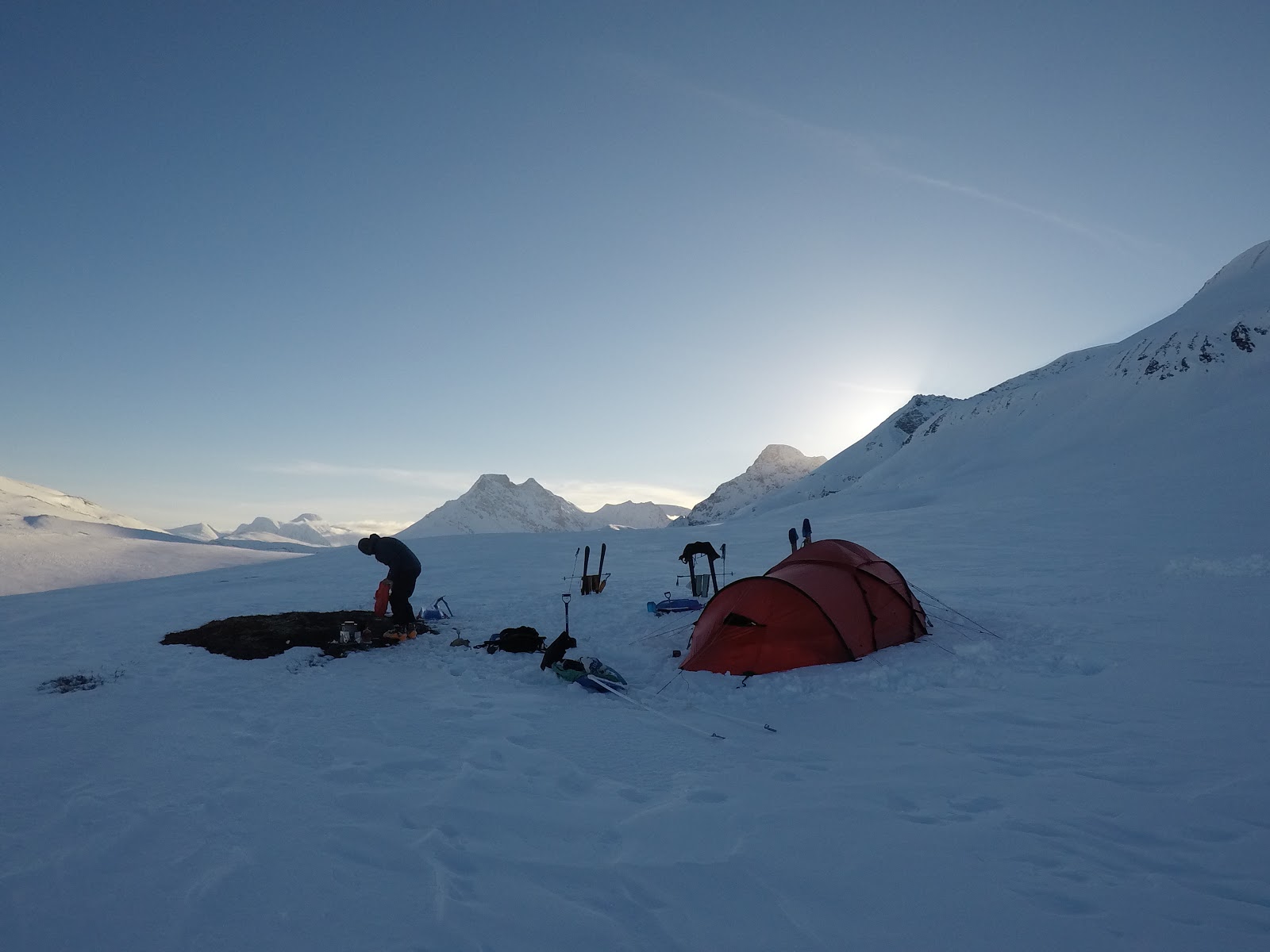
Camp on the shelf, complete with a patch of earth and ski boot drying racks!

16th April 2019 - Daltinden, our first ski peak of the trip
Not only did our campsite have a good view but it positioned us at the start of the ski descent into Lyngsdalen, reducing the number of changeovers we would need to do.  The ski was quite a wake up!  Focussed navigation led us to the shallower angled track above the Storfjorden, which turned into a hair raising icy track.

Leaving camp (yes that is a team member waving from the toilet!)

Weaving our way through the village we soon met other skiers, Daltinden, our ski peak for the day, was one of the most popular in the area.  Client's passed us bemused, whilst their guides asked us what we were doing.  Most people looked at us like we were crazy and all of the locals engaged us in talk about snow conditions and avalanches.  I found it vaguely amusing that we were travelling nearly as fast as some of these groups, despite our loads!

Steve taking his pulk for a walk in Lyngsdalen

Stashing our pulks, we were set loose and followed the gravy train to the summit.  Steep in places, and still quite weary of the snow pack, we often took our own line, all the while considering what would happen if each bit of the slope went.  It was a well skied route, but the fickle nature of PWLs (persistent weak layers), and the raising temperatures made me alert.

On our way to the summit, behind Chris, at the front, you can see the glacier snout that we will be aiming to cross under before heading along the valley on the right
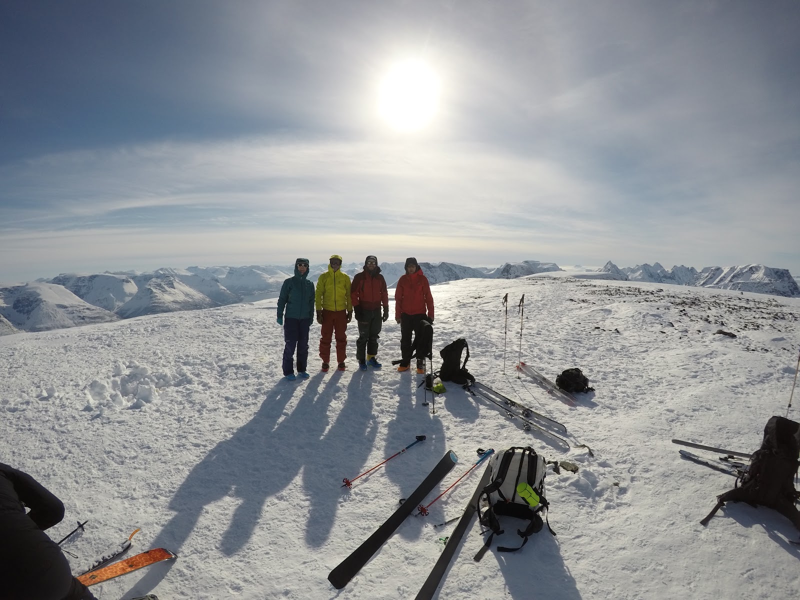
Team summit shot - with thanks to someone else on the mountain

Spring snow and the odd section of wind affected power brought us happily down from the summit.  We found home for the night west of the Lyngsdalshytta, on a patch of snow that didn't appear to be either on a stream or below an avalanche prone slope.

Chris enjoying the ski descent of Daltinden

17th April 2019 - the technical crux - could we get past the snout of Vestbreen?
Making our way towards the glacier I hoped that we would be able to find a way through to the valley with Bredalsvatnet.  We knew the area would be steep, but we were unsure if we would be able to get through safely, if double carries might be required, or if there would be complete snow coverage.  One of the advantages of having such good mobile phone signal meant that we could zoom into the latest map on the Varsom app and see the gradient of the terrain to work out a few possible routes.  Looking across at the terrain from yesterday's peak only served to tell us that it might be passable.

Our first view of the Glacier, the sections in pink show earlier avalanches as the camera I used isn't the best at picking detail out in low light conditions

Avalanches from the heat of the previous days were visible besides our route.  We took the shallowest route possible and eventually had a good view of the end of the glacier.  Mini serac collapse covered the terrain.  Opting to spread out, despite the cooler morning air, we traversed this section efficiently, and continued to the steeper slope on the right.  Arduous kick turns followed to the thin rock line of semi covered moraine forced us across to the other side.  Finally the slope angle reduced enough to allow us a much needed picnic stop, and we were through.

Our route from camp shown via the orange dotty line, Photo by Steven taken the day before on Daltinden
You can just spot our final team member about to arrive at our rest stop having crossed through the last steeper section by the rock behind him.

Passing through the valley we stopped on the edge of a large flattening in the ridge above Dalvatnet, where we would be safe from any avalanches, and gave us enough sunshine for an afternoon nap outside.

The perfect campsite?  Rocks to dry kit on, space to dig a kitchen area, views of our ski peak tomorrow (back right)

18th April - Rundfjellet, another ski peak
When your main aim is a ski traverse, any peaks skied are a bonus.  Combine this with being able to access a peak, finding a safe route up and down it that is mostly skiable, and getting your timings right so you are able to summit it before weather / temperature changes, whilst not expending so much energy you can't make it to the end of your route; and soon one starts to understand the juggling act.

Traversing across the snow, the sun already quite high in the sky

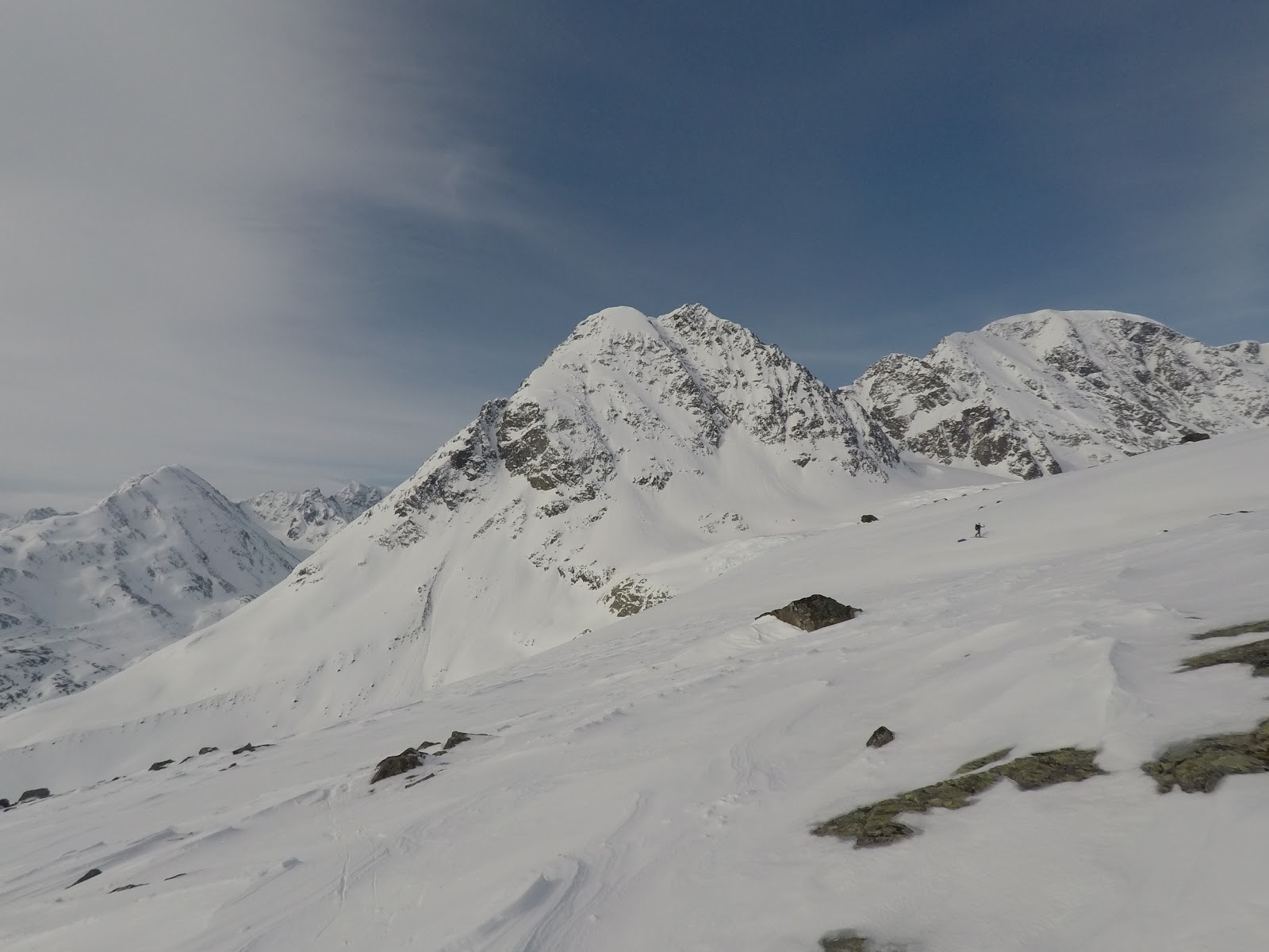
Views along the skin to Rundfjellet, you can see the plateau we camped on our night before passing through Lyngseidet

Rundfjellet seemed to tick all of the boxes, we left camp (still unpacked) and began a long traverse and ascent around the mountain to the Eastern side of Myrvatnet.  In hindsight it would have been much easier to approach from behind camp, with a short ski down to the lake from the North, but we were aiming to have as little as possible ascent at the time.

Self timer photo on the summit. Photo by Steve

Euan getting the chance to free his heel again

From here there was a shallow valley heading SSW taking under the steep face of the mountain until a pleasant ascent along the South ridge brings you to the summit.  Excellent spring snow and light powder brought us back to the lake, where we opted to skin up the extra 300m enabling a ski straight to camp.  Still feeling quite fresh after a shorter day yesterday the trail breaking felt pleasant, and my legs remained energetic.

Skiing down infront of Rundfjellet

After packing up camp we had one of our best pulk skis of the trip, perfect snow and gradient led us to mushy snow in the valley floor and the poignant reminder of the threat of wet snow avalanches from steeper slopes above.  It also made for hot hard work zig zagging up the short slope to the shelf of Oksefjellet.

Our campsite, clouds always make for atmospheric photos!  Rundfjellet under sunshine on the left.

The following day we would cross the road at Lyngseidet and therefore the halfway point of our traverse.

Tuesday, 26 November 2019

A traverse of Lyngen, part 1 of 3, how a scenic ferry convinced us to take plan B (sort of!)

Fantastic views on the Lyngen Peninsular

Always have a plan B, and C, D, E... etc...  At least, that's what I tell my clients (and I endeavour to follow this too).  And, to be fair, in my head a plan B in steep skiing terrain is, don't bother.  I guess that is a plan B, but it's probably not the plan you consider when organising a traverse of a specific mountain range, to which you have booked flights to; and most people would have a more skiing orientated plan B rather than just quit.
Walking to Tromso bus station at the start of our journey

Last April a small team of us flew to Tromso with the aim of traversing the Lyngen Peninsular.  Many hours of googling and pouring over maps revealed what could be an incredible route through the high glaciers and mountains of the area including a traverse of Jiehkkevarri.  It would be an arduous but amazing journey over two weeks, 100% self sufficient, pulling our pulks.  Research told me that a few people had more or less completed a traverse of the area (the only camping one I could find sounded like a complete epic of bad weather), some guides offered a variation on it, the 'Lyngen Haute Route'.  Nowhere could I find any record of anyone attempting a higher traverse over the glaciers.  And it was quite difficult to figure out what route previous and advertised groups used.

As you do, for the months preceding a trip, you read the avalanche bulletins and weather reports.  Dipping in and out more frequently the closer you are to departure.  Initially things looked good.  During March there were still persistent weak layers, well, that's nothing new.  For a while it looked like the snowpack might just stabilise and head into a more Springlike cycle.  Then, it just snowed and snowed, and then stopped.  We touched down and found very difficult conditions.


I hate persistent weak layers, how often do you actually know how close you have been to triggering it?  With more than half of our route in prime 35degree avalanche terrain at this height, the answer was simply to avoid it.
The classic Lyngen photo - fjords and mountains

What was our skiable plan B going to be?  Earlier in the month when I realised that plan A looked doubtful, I put all of my spare hours into finding another route.  It was broadly based on the 'Lyngen Trek', a summer hiking route that follows a series of shelves on the East side and then crosses through to the West side of the peninsular.  But... I couldn't find anyone that had skied it, and there were a couple of shorts sections of which I had no idea if we would be able to get through, most notably the end of the Vestbreen Glacier, west of Lyngsdalen.
The Lyngen Trek route marked in green, from The Lyngen Alps by Fri Flyt AS

A look on FATMAP and the Norwegian mapping website revealed that the vast majority of this route would avoid avalanche terrain, and there would be appropriate safe escape routes to a road if we couldn't continue through a more challenging bit.  Phew, what a relief to finally have a plan, that might work.  
Safer travel in a higher risk environment

Researching public transport options, we were able to get a bus from Tromso to Nordkjosbotn; and, the highlight, a ferry back from Nord Lenangen if we arrived on time.  To be honest, after the disappointing reality of having to change our plans, I think the possibility of taking a ferry tour at the end, sold Plan B to us!

The following day we got on the bus in misty weather and began our traverse in Nordkjosbotn.
On our way to find snow somewhere in the outskirts of Nordkjosbotn

Monday, 16 October 2017

September in Scotland

Wild camping in Fisherfield, what a view

This September Jim and I went on our annual trip to Scotland seeking classic mountain walks, adventures and good cake.

Our first view of the Fisherfield Munros

Our first stop was Kinlochleven where the Salomon Skyrunning weekend of races would be taking place.  Having previously raced and marshalled on the event, this year we would be spectating and using it as an excuse to get out into the hills, catch up with good friends and feel psyched to get fitter and faster.

On the way up Bidean Nan Bian to cheer the Salomon Skyline racers

By the end of the weekend it was time for us to seek our own solitude in the mountains and with a reasonable forecast we continued to head North towards Torridon and Fisherfield.

We even saw some sun in Kinlochewe!

One of our aims for this holiday was to try out Jim's new Hyperlite Mountain Gear Ultamid 2 tent (phew, a bit of a mouthful!), and spend some days exploring and wild camping in the Fisherfield, weather permitting.  Having arrived in Kinlochewe we decided to walk from there towards Lochan Fada via Gleann Bianasdail.

Walking alongside Loch Maree, Slioch in the background

A couple of hours later we had passed Slioch and were rewarded with our first views of the Fisherfield wilderness.  I was more than a little bit excited having owned an OS map to the area for nine years but never having been there.  

Filtering water on the walk in

Crossing a river in the Fisherfield wilderness

The beach by Lochan Fada made a beautiful lunch spot and from here we found a great little path that took us all the way up to Bealach Odhar following this small gorgelike stream of Allt na Creige Glaise.  Rather than drop down the other side to the tiny pool we set up camp here having found a water source and a flattish piece of ground.


Jim surveying his new Hyperlite Mountain Gear Ultamid 2 tent pitched where it's designed to be, in the wild

As the weather predicted, all good things come to an end and having watched it cloud over the evening before we awoke to rain and light winds.  Erring on the side of caution we changed our plan. This area of Scotland commits you to at least one river crossing even in dry weather spells and the prospect of getting out after a couple of rainy days wasn't appealing.

On Beinn Tarsuinn in the mizzle (misty drizzle)

Not wanting to leave without bagging at least one Munro, we headed for Beinn Tarsuinn.  It was short blast up following a vague path that seemed to regularly disappear.  From here we followed our journey back down the the col and out to Lochan Fada.

We completed our journey in Dynafit trail running shoes, fast and light!

To add more interest to our journey we headed out along Gleann na Muice along fabulous singletrack and 4x4 tracks to Kinlochewe.  (one to return on by mountain bike when I'm a bit more skilled)

The Whistle Stop Cafe in Kinlochewe is a must for food and drink and we refuelled here before heading south to the Cairngorms in search of better weather.

Scots Pine trees in the Cairngorms

Unfortunately for us the weather remained variable.  I completed an ambition to run the Cairngorm 4000ers but in 50mph winds and heavy rain, which was resilience building (needless to say I don't have any photos).  And we both went on some local walks in the forest to various cafes.

Walking in Glenmore avoiding the 60mph winds in the mountains

Our last stop in Aviemore before heading home was to Backcountry Scotland.  This was a chance to say a big thank you to someone for having the nerve to import such unique and incredible equipment from around the world; most notably our Hyperlite Mountain Gear Tent (handmade in Maine, USA), but also an opportunity to chat gear, expeditions, and look at the best packrafts and bike packing kit on the market.  Needless to say we were both rather excited.

Winning at life on holiday
All too soon it was time to return home having had some adventures but more importantly psyched for many more in the future.